Our team of arboriculturalists offer a wide range of tree condition and hazard reports, predevelopment and arboricultural impact assessments, together with supporting method statements.
We have the technology to capture tree data using electronic GPS mapping, which allows accurate plotting of trees onto site plans or ordnance survey base maps, along with recording tree attributes. We can undertake detailed root investigation works using air spade techniques, implement root remediation works and ground decompaction by way of terraventing and mulching.
We can also provide written tree works specifications and method statements in relation to agreed tree works to be undertaken, site specific risk assessment, health and safety statement, together with insurance documents (for which we hold £10 million public liability insurance).
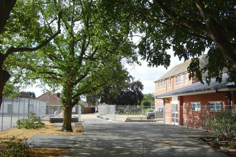
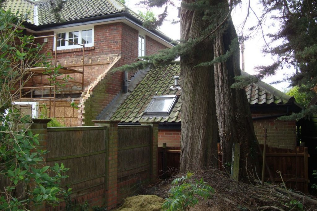
• Pre‐development surveys and Arboricultural Impact Assessments (AIA), with tree constraint plans provided electronically or in paper format.
• Arboricultural Method Statements (AMS)
• Development site monitoring
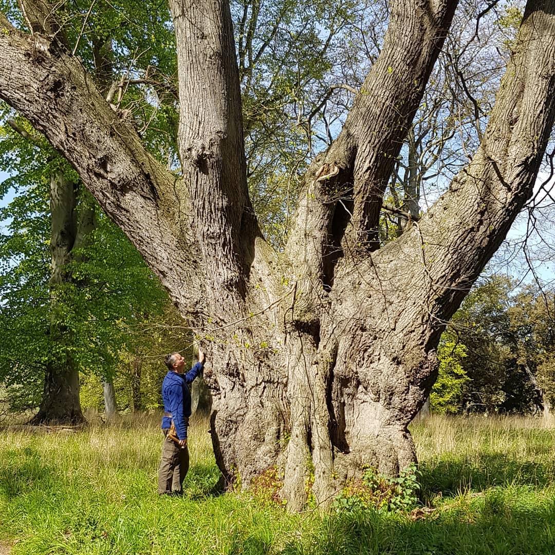
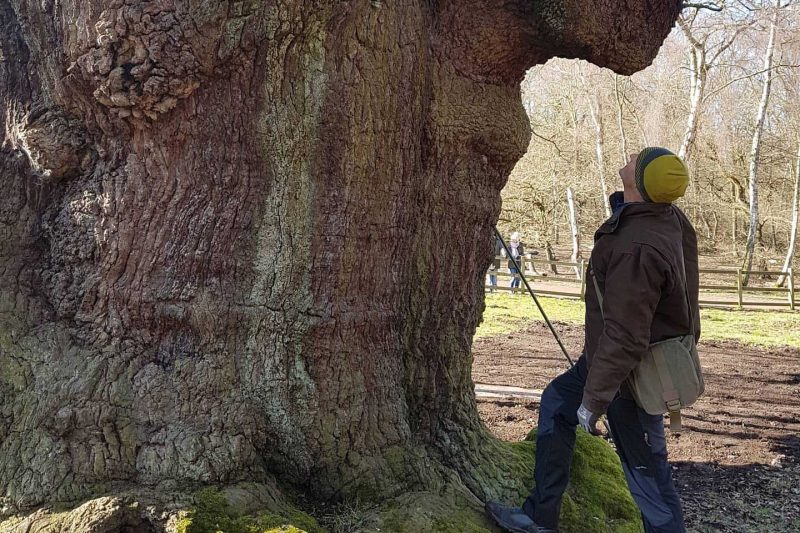
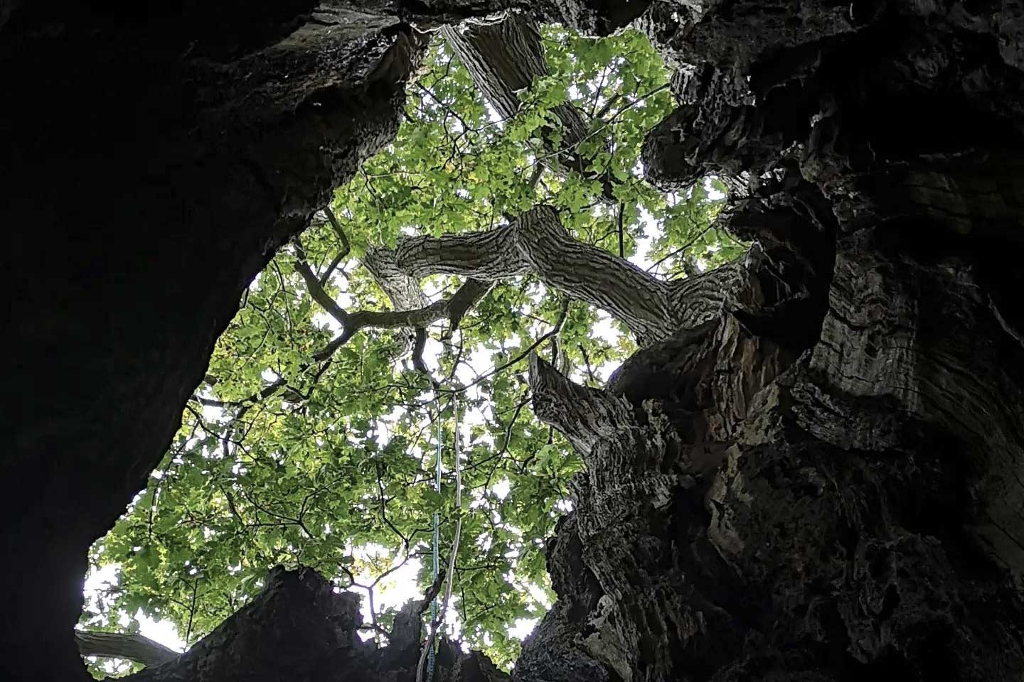
• Tree condition and hazard reports using the VTA (Visual Tree Assessment) Methodology
• Risk Assessment using the Quantified Tree Risk Assessments (QTRA) for large estates, areas of public access, road side trees and parks.
• Tree capture data and plotting of trees using GPS mapping
• In depth written tree planting specifications
• Tree works and management specifications
• House Mortgage Tree Surveys
• Tree Preservation Order (TPO) obhjections and appeals
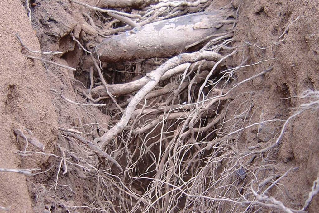
• Root investigations, using hand dug or air spade techniques
• Decompaction by way of terraventing
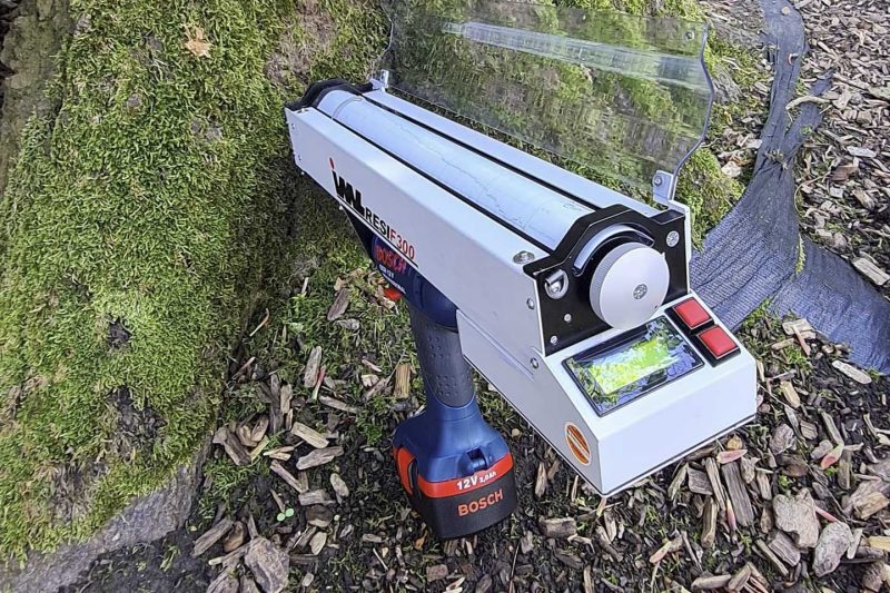
• Decay detection using a resistograph drill
• Applications to councils for consent to undertake tree works covered by Tree Preservation Orders or in Conservation Areas
• Environmental / wildlife habitat impact studies in conjunction with Louise Brown of Torcecology